
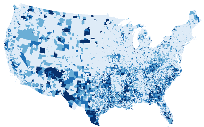
Big Data and Environmental Health
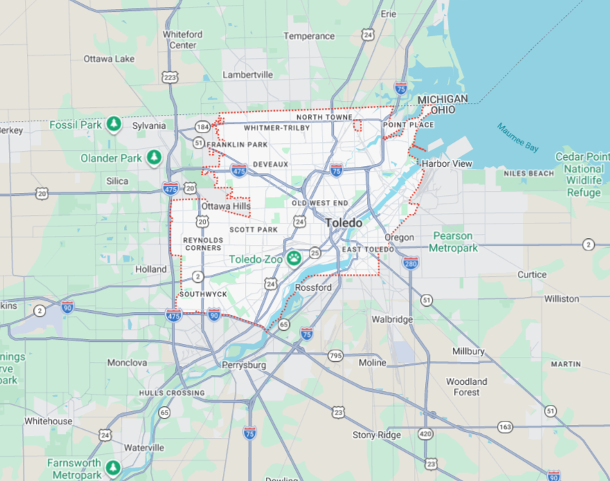
In the bustling city of Toledo, Ohio, a dilemma faces urban planners and public health officials alike: how to address the vibrant yet unmanaged wild vegetation surging in unmaintained city lots. On the surface, these green spaces may appear as urban oases, but a closer examination reveals complexities tied to local health outcomes and potential environmental risks. It’s here that ‘big’ geospatial data and health data intersect to unveil critical insights into the very fabric of urban life.
This backdrop sets the stage for a deeper exploration into how big data—specifically, high-resolution geospatial and health datasets—can illuminate the intricate pathways between our environment and health. As our cities continue to grow and change, so too does the need for thoughtful integration of these data sources to inform public health policy and practice.
The Broader Context: Linking Geospatial and Health Data
The potential of big data in environmental epidemiology cannot be overstated. It holds the promise of uncovering patterns in health disparities influenced by factors ranging from air pollution and urban green spaces to socioeconomic status. However, the pathway to effectively linking geospatial data with health data is fraught with challenges. These challenges are particularly pressing because they hinder our ability to understand how different environmental factors interact to shape health outcomes.
Public health leaders and researchers are tasked with navigating the technical, ethical, and methodological complexities that accompany this data linking. The consequences of these challenges are non-trivial; they can lead to missed research opportunities and an inability to fully articulate the limitations of component data sources. Notably, this complexity is not evenly distributed. It often mirrors existing societal inequities, amplifying disparities rather than alleviating them.
What the Study Asked
The study focused on addressing how best to integrate ‘big’ geospatial data with health outcome data. The researchers are not just interested in whether these data sets can be linked, but how these linkages can robustly address etiological questions—those that seek to uncover the causes of health disparities attributed to environmental factors. Can geospatial data truly represent the physical and built environment’s influences on health in a meaningful way?
Methodology: Tackling the ‘Big Data’ Conundrum
To gain clarity, the researchers analyzed the methodological literature and conducted case studies to highlight the core challenges. Their approach emphasized ‘groundtruthing’—validating data through community involvement and preliminary fieldwork—and prioritized interdisciplinary science to consolidate insights from exposure science, epidemiology, and sociology.
Moreover, they suggested a guiding framework, advocating for the use of target trials. This method seeks to emulate the randomization of clinical trials in observational settings, aiming to reduce bias and bolster the validity of findings.
What They Found
The researchers identified multiple layers of complexity, from understanding the technical nature of geospatial datasets to the biases inherent in assigning environmental measures. For instance, while satellite-derived metrics like the Normalized Difference Vegetation Index (NDVI) are used frequently, they often fail to accurately reflect the lived reality of green spaces within communities. Similarly, discrepancies in measuring air pollution mean that some urban areas are inadequately classified, masking true exposure levels and associated health risks.
Big data linkage is not just technical but deeply contextual, requiring attention to the lived experiences within communities.
Why It Matters
The implications of these findings resonate widely, especially for decision-makers and public policy professionals. The study underscores the necessity of designing data systems that not only measure reach but assess accuracy and trust in different communities. This is critical as we live in an era increasingly driven by data. For public health systems to wield this data powerfully, they must address the inherent biases and structural barriers that perpetuate inequities.
The issue goes beyond simply recognizing the disparities; it’s about understanding the nuanced ways that geography, economy, and social structures intersect and manifest in health outcomes.
What This Means in Practice
- For Local Health Departments: Invest in community engagement initiatives to ensure data reflects the lived realities of those it aims to represent.
- For Policymakers: Push for policies that support the integration of interdisciplinary methods into public health data systems.
- For Researchers: Embrace methodologies like target trials to navigate observational data analyses meaningfully.
The Hard Part: Turning Evidence Into Action
Despite the promise, turning these insights into practical action presents several obstacles. Funding constraints, data gaps, workforce capacity, and political resistance all loom large. Moreover, scientific limits like sample size and the generalizability of findings can impact confidence levels in these studies, pointing to the need for careful consideration of data scope and applicability.
Yet, this complexity should not discourage. It calls for diligence and creativity in harnessing data for the greater good. The evidence indicates that with careful attention to design and an eye toward equity, meaningful progress can be made.
In Conclusion
The opportunity for public health systems to use these insights to enhance population health is significant. However, to act on these opportunities, we must be willing to confront and dismantle the systemic barriers that shape data interpretation and application. This is a critical moment, one that challenges us to ask not only what we know but how we can act.
By fostering a collaborative, evidence-driven approach—and by centering equity in our data practices—we can move closer to a public health system that truly serves everyone.