PLACES Dataset Featured in the New R Package
The PLACES dataset significantly advances public health data analysis and accessibility. Originating from the 500 Cities Project, which began in 2015, PLACES (Population Level Analysis and Community Estimates) is an initiative by the Centers for Disease Control and Prevention (CDC), in collaboration with the Robert Wood Johnson Foundation and the CDC Foundation. This innovative project expanded its scope in 2020 to offer comprehensive small area estimates (SAE) for various geographical divisions across the United States.
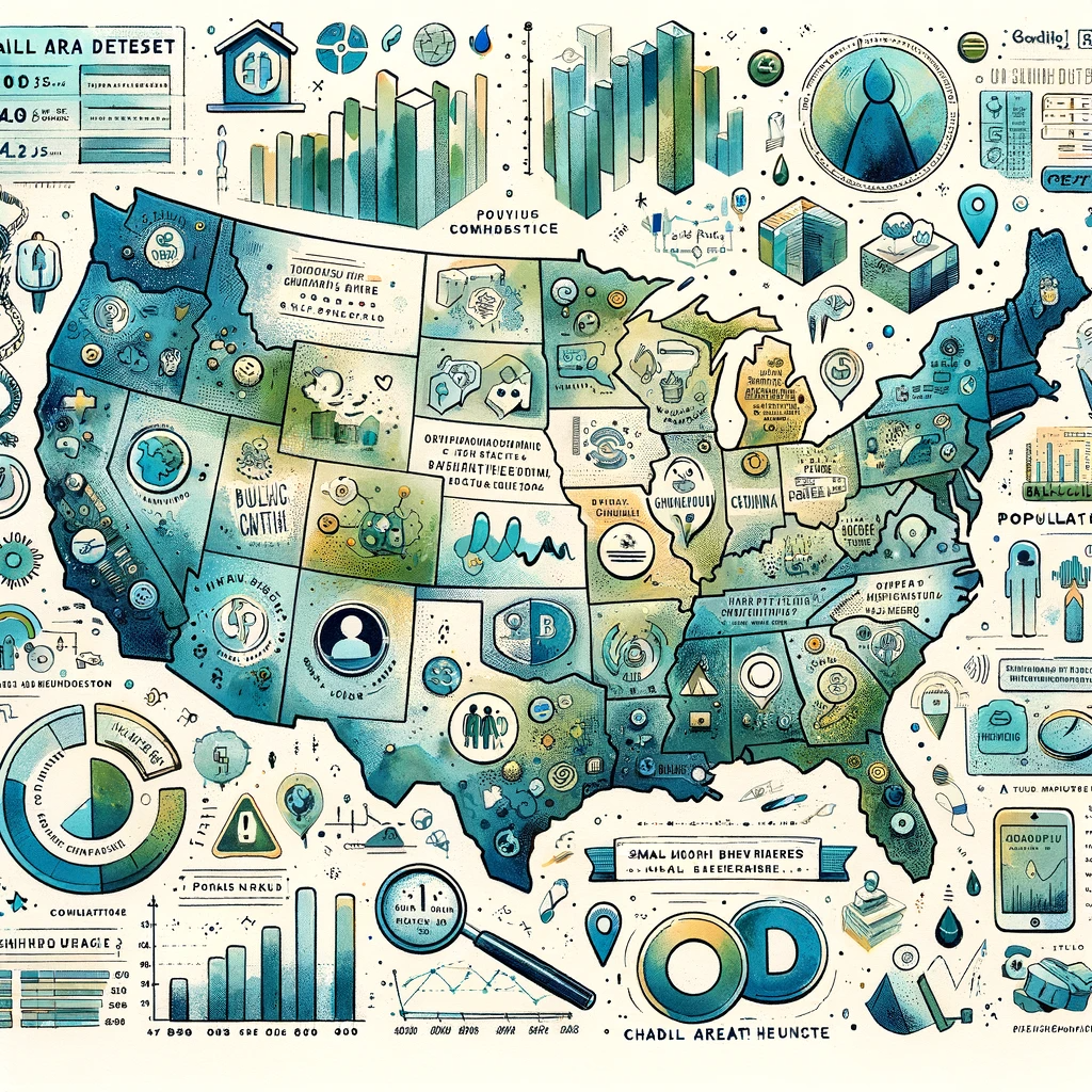
Comprehensive Geographic Coverage
PLACES offers extensive coverage, including 3,143 counties, over 28,000 places or Census Designated Places (CDPs), and more than 72,000 census tracts, along with 32,409 ZIP Code Tabulation Areas (ZCTAs). This coverage extends to all 50 states and the District of Columbia. The dataset stands out for its detailed representation of these areas, surpassing the original scope of the 500 Cities Project. It includes data from the Census Tiger 2019 and the 2010 population count, ensuring up-to-date and relevant information.
Unique Value and Purpose of PLACES
The dataset’s unique value lies in its ability to provide small area estimates for 36 chronic disease measures across the United States. This includes county, place, census tract, and ZCTA data, using small area estimation methods. These data points are crucial for understanding health issues affecting local areas, regardless of their size or urban/rural status.
The PLACES data are published on a public, interactive website, allowing users to view, explore, and download data. This feature is particularly beneficial for researchers, policymakers, and public health professionals who need to access localized health data for planning and implementing targeted health interventions.
Impact on Public Health Analysis
PLACES represents a first-of-its-kind data analysis, providing estimates necessary to identify health problems, develop prevention activities, and establish key health objectives in all US counties, places, census tracts, and ZCTAs. This system complements surveillance data by offering a more detailed and localized view of health issues.
Integrating PLACES with R
The new R package, available on GitHub from Brenden Smith, offers an accessible way to interact with the PLACES dataset. This integration enhances the utility of PLACES for data scientists and researchers, allowing them to seamlessly incorporate this rich dataset into their analysis. The package simplifies the process of retrieving, visualizing, and exploring the data, making it a valuable tool for anyone involved in public health research and policy-making.
Conclusion
PLACES is a groundbreaking project transforming how we understand and approach public health data. Its extensive coverage, detailed estimates, and ease of accessibility make it an invaluable resource. Integrating PLACES with R further amplifies its utility, making it easier for professionals to harness this wealth of data for meaningful analysis and impactful health interventions.
For more information and to access the R package, visit the GitHub page for the CDCPLACES R package.
Join the Vanguard of Public Health Today!
Are you ready to be at the forefront of health advocacy and research? ‘This Week in Public Health’ brings you weekly insights and updates that matter most. From breakthrough research to groundbreaking community initiatives, our newsletter is your ticket to staying ahead in the rapidly evolving world of public health. Subscribe for free and be part of the change you wish to see!